
Everyone is a pedestrian at some point in the day, whether you live in a big city or a small town, ride the bus or drive a car. And although walking is the most universal mode of transportation, it can also be one of the most dangerous.
“Streets and their sidewalks—the main public places of a city—are its most vital organs.” This quote from writer and activist Jane Jacobs, whose ideas revolutionized urban and city planning, accurately identifies sidewalks as an essential component of a city’s transportation system.
Sidewalks connect people to their destinations in a space reserved solely for them, accommodate safe routes for alternate transportation that are otherwise unfeasible and are especially important for those dependent on public transportation. Not only that, but they can help reduce crime through increased pedestrian traffic, increase foot traffic for retailers, improve health with added opportunities for walking and recreation and foster a greater sense of community through enhanced connectivity.
GMC’s planning department has been working with the City of Birmingham, Ala., to enhance its transportation system through development of the 2020 Sidewalks Master Plan. In tandem with this plan, GMC’s geographic information systems (GIS) specialists are performing an inventory of all of the sidewalks within the city’s right-of-way—more than 1,000 miles of sidewalk—to identify areas not in compliance with Americans with Disabilities Act (ADA) standards.
During phase one of the ADA assessment, the GIS team drove every street within the Birmingham city limits conducting “windshield surveys.” Through this process, they were able to record locations and visually assess sidewalk conditions using the ArcGIS Collector application. This phase of the assessment took slightly less than a year to complete.
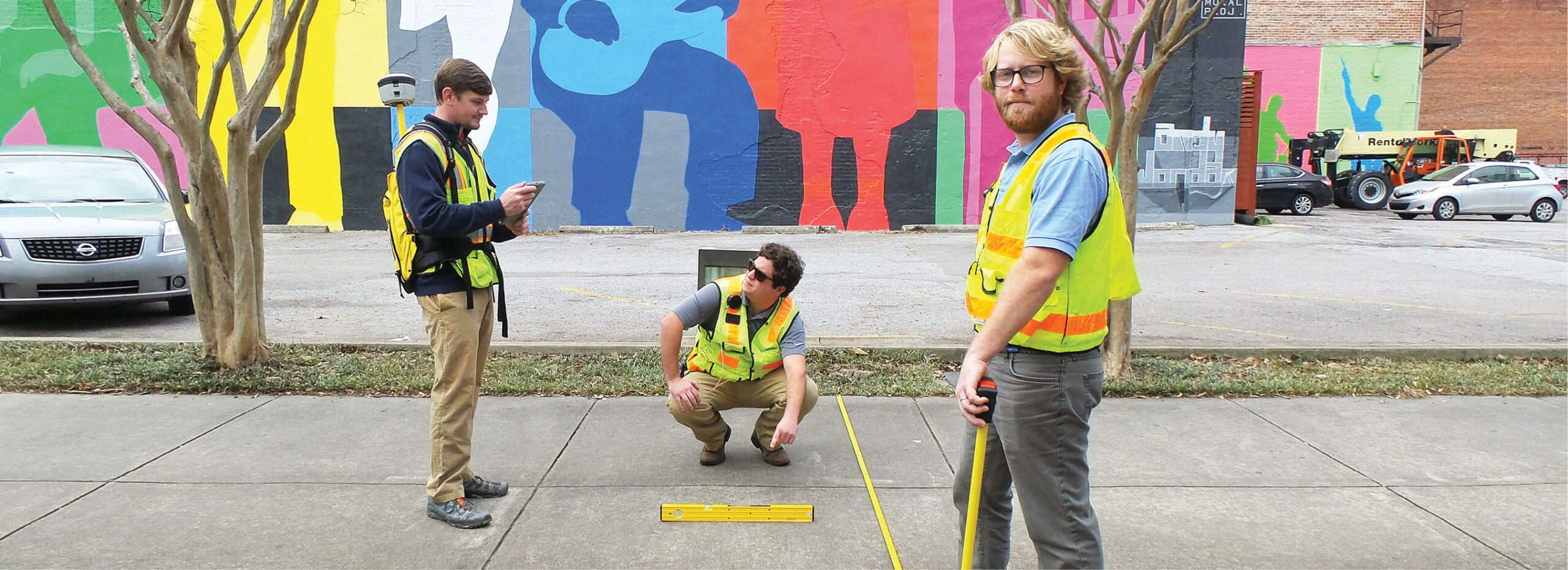
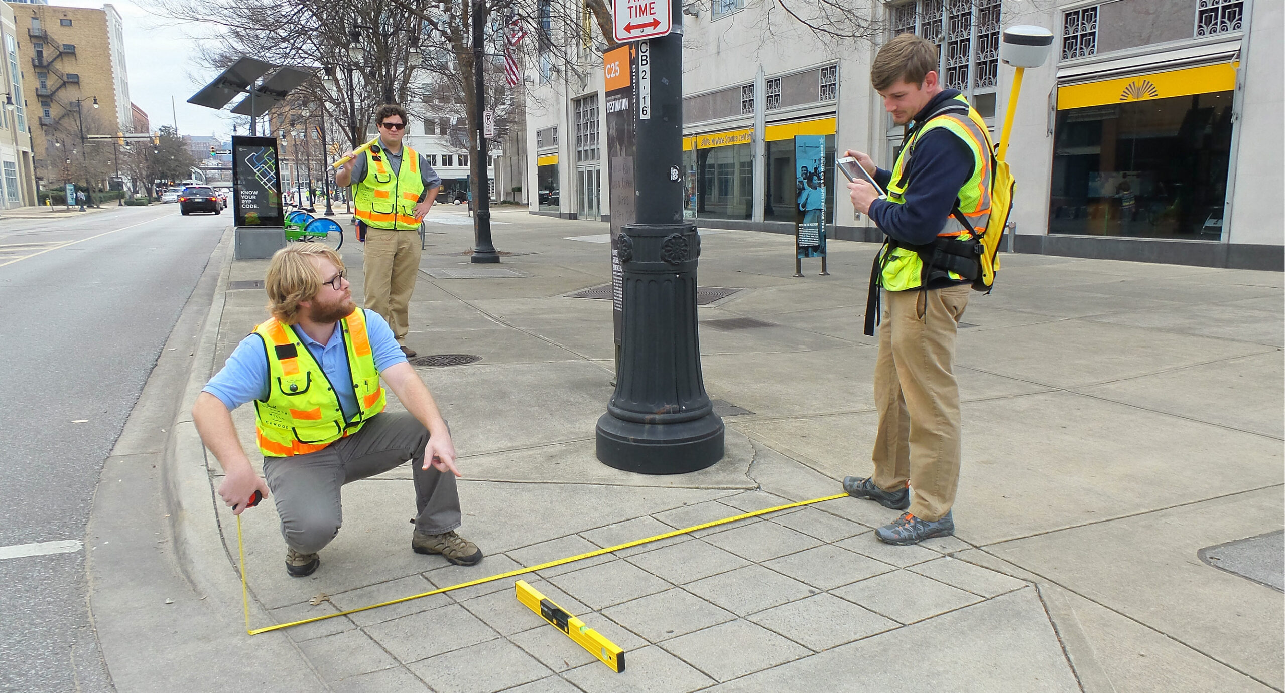
The GIS team has moved on to the second and largest phase of the project, which takes the assessment a step (or several steps) farther. Equipped with a smart level, measuring tape, Global Navigation Satellite System (GNSS) receiver and an iPad, they are now conducting walking surveys of every mile of sidewalk identified in phase one.
Each day, they plan their route, park at the designated starting point and begin collecting data as they traverse the sidewalks. In one day, they may assess more than three miles of sidewalk or walk 6,000+ steps. Through these walking surveys, they collect three types of data: curb ramps, sidewalk obstructions and sidewalk slope points.
- Curb ramps, which cut through or are built up to a curb, provide accessible routes for people with disabilities to transition safely from roadways to curbed sidewalks and vice versa. The GPS coordinates are recorded and a photo of each curb ramp is attached for reference. Other attributes taken during a 17-point inspection are also recorded, including length, width, cross slope, running slope, landings and flare measurements, to name a few.
- Sidewalk obstructions represent any areas along the sidewalk that are not ADA-compliant, such as cracked or busted sidewalk, displaced sidewalk joints and overhanging or obstructing vegetation.
- Sidewalk slope points are taken in intervals of 150 to 200 feet. The running slope, cross slope and sidewalk width are recorded for each segment, and two photos, one from each direction, are taken.
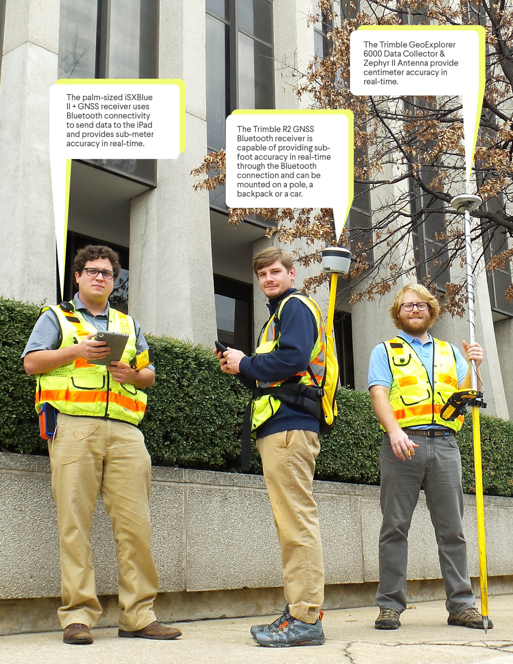
They are able to collect data with sub-foot accuracy, which is sent to the iPad in real-time using Bluetooth. This method creates an interactive digital map that is updated as each point is collected. This map will feature links to photos of each documented location, and presents the data in a way that can be easily understood and shared. Click here for an example of the interactive map.
City officials can use this information to establish priorities for sidewalk repair and construction throughout the community. Coupled with the master plan, which acknowledges sidewalks as an essential component of the city’s overall transportation system, leaders will be able to justify the inclusion of sidewalks in other street improvement projects, and sidewalk construction/repair as standalone improvements.
Every improvement is a step in the right direction to enhancing pedestrian safety, improving connectivity throughout the city and creating a truly multimodal transportation system.