
Within an 11-month timeframe in 2016-2017, two hurricanes impacted the Georgia coast, resulting in severe coastal erosion and widespread flooding in Glynn County. Without action to protect vulnerable and eroding shorelines, these areas would be at risk for greater damages from future storms. Without a long-term vision for resilient, shoreline protection measures, any reactive actions taken post-storm to patch damage from the recent hurricanes would only provide a “band-aid” solution to a deeper problem.
A Collaborative Solution
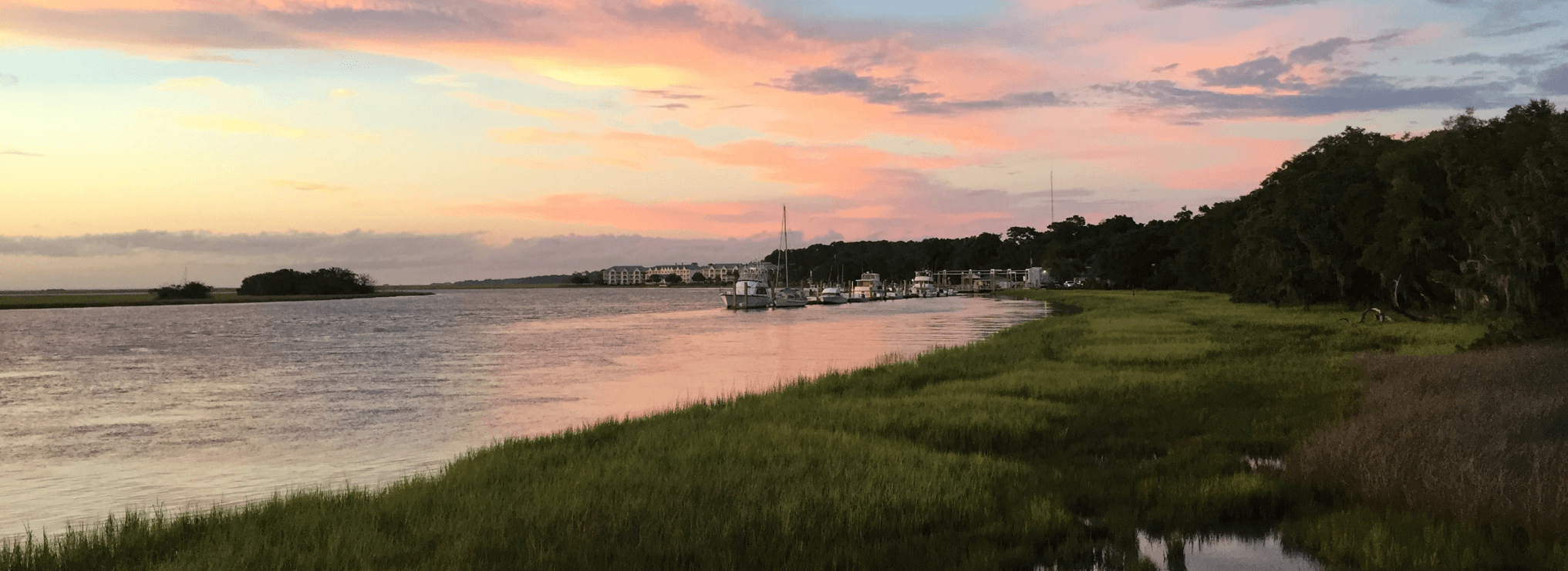
Glynn County, the City of Brunswick, the Jekyll Island Authority (JIA) and the Brunswick-Glynn County Joint Water and Sewer Commission partnered on a two-year Coastal Incentive Grant (CIG) to find eco-friendly solutions to address current shoreline vulnerabilities and future shoreline hazards. The group combined their efforts to develop a Shoreline Protection Implementation Plan (SPIP) to protect the shorelines along the beach front, exposed marshes and river edges countywide and become more disaster resilient. To assist with facilitation and development of the plan, the group hired GMC’s team of environmental experts.
Because shorelines can shift via two primary mechanisms – erosion and sea level rise – the two-phase plan focused on these aspects.
Shoreline Erosion
Shorelines shifting due to erosion is caused by forces of water moving and washing away soil and sand. If there is limited stabilization through vegetation or constructed features, erosion can be a more rapid process. Through an assessment of current shorelines, the first phase of the SPIP successfully identified vulnerable shorelines, which are included in the “Shoreline Assessment and Implementation Resiliency Plan.”
Sea Level Rise
Shorelines shifting due to sea level rise is a much slower process. As sea levels continue to increase, the water’s edge, or high tide edge, will continue to encroach into upland areas and developed land. Experts estimate that sea levels in Glynn County are likely to rise somewhere between 1.9 feet (Intermediate-Low Scenario) and 6.5 feet (Intermediate-High Scenario) by the year 2100. The second phase of the SPIP, “Sea Level Rise Response and Implementation Plan,” included an assessment of future shoreline vulnerabilities and hazards, with a focus on critical facilities.
These plans provide recommendations to enhance shoreline protection and resiliency through implementation of shoreline protection management measures (or BMPs), code/ordinance updates and additional studies/monitoring.
The Impact
Through the first phase of this project, shorelines with the highest vulnerability to erosion and shoreline change were identified through a review of available GIS data and soliciting feedback from local staff (“Shoreline Protection Task Force”) and the general public. A matrix was then developed to prioritize individual projects and the most vulnerable shoreline segments that would have the greatest impact on community resiliency. In total, 16 projects were identified in the City of Brunswick, 37 in unincorporated Glynn County (with 12 on the mainland and 25 on St. Simons Island), and 14 on Jekyll Island. Each project included a relative cost, potential partners, project lead, as well as proposed solutions and alternatives. The Task Force reviewed a comprehensive list of shoreline protection best management practices and identified issues and opportunities for each. Overall, there was a general interest in natural practices, with noted interest in living shorelines.
Key outcomes during the second phase of this project included:
- Conducted an infrastructure inventory of all critical facilities and evaluated vulnerability to sea level rise, flooding, and storm surge
- Analyzed and discussed recent sea level changes (analysis included 2000 to 2020) to predict which scenario the County is most-closely trending towards
- Analyzed and discussed long-term sea level changes (analysis included 1940-2020) to show historical trends
- Communicated with individual jurisdictions regarding infrastructure and public facilities within higher hazard zones
- Reviewed building and zoning codes and made recommendations for codes that could be implemented to enhance physical resilience, with particular focus on freeboard requirements for construction
- Engaged the community through the coordination of public information that is timely, accurate, and consistent across local government agencies
In closing out the project, the Glynn County Board of Commissioners voted to accept both plans and include them as an appendix to the “Brunswick-Glynn County Disaster Recovery and Redevelopment Plan.”
Click here to learn more and to view other resources related to the project, including shoreline and resiliency maps and copies of the plans.