Environmental team takes on more than 750 acres to assess a potential mitigation bank in west Tennessee
August 31, 2023 · Projects, Insights
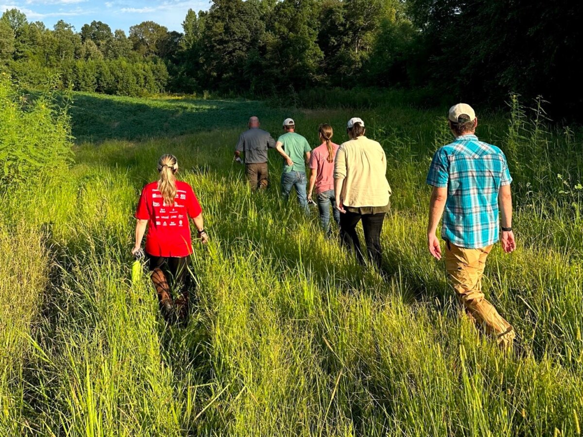
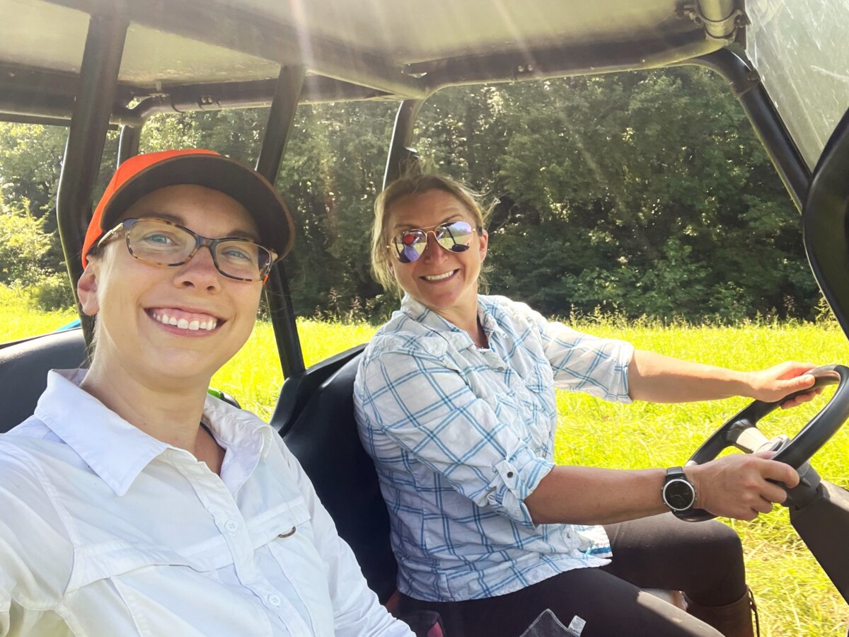
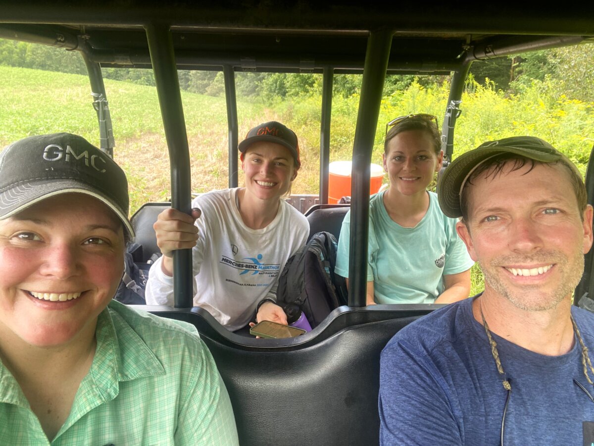
Last week, GMC’s Environmental department put together a field team of eleven members from three different offices to assess more than 750 acres for a potential mitigation bank in west Tennessee.
The proposed bank is being considered for public and private use to provide compensatory mitigation for unavoidable impacts to Waters of the United States (WOTUS), as related to the US Army Corp of Engineers (USACE) permitting process. “WOTUS” are aquatic resources such as rivers, streams, lakes and wetlands where the USACE has regulatory oversight through Section 404 of the Clean Water Act (CWA) and Section 10 of Rivers and Harbor Act. The proposed Bank will also serve to meet state mitigation needs for the Tennessee Department of Environment and Conservation (TDEC). This agency has jurisdiction over similar surface water features through Section 401 of the CWA which allows individual states to enact permitting requirements for projects that may affect water quality.
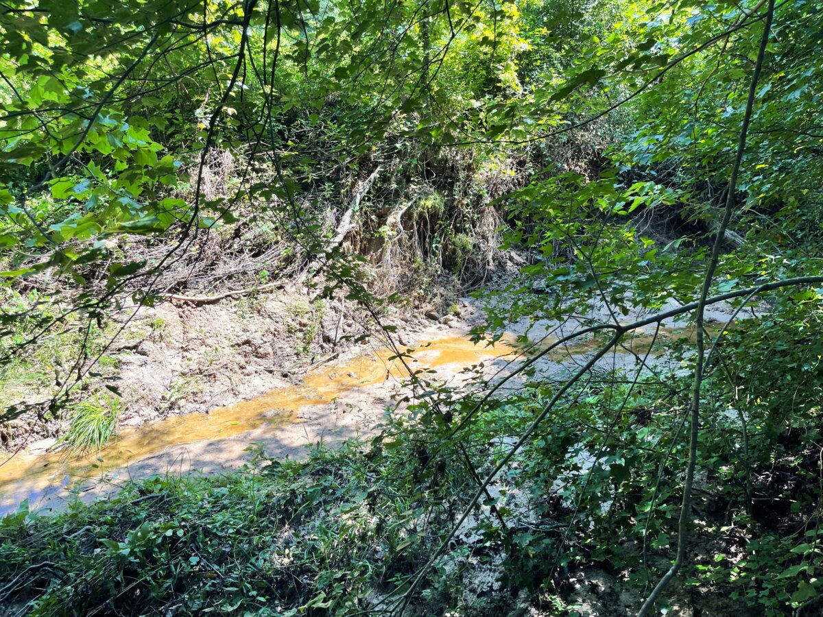
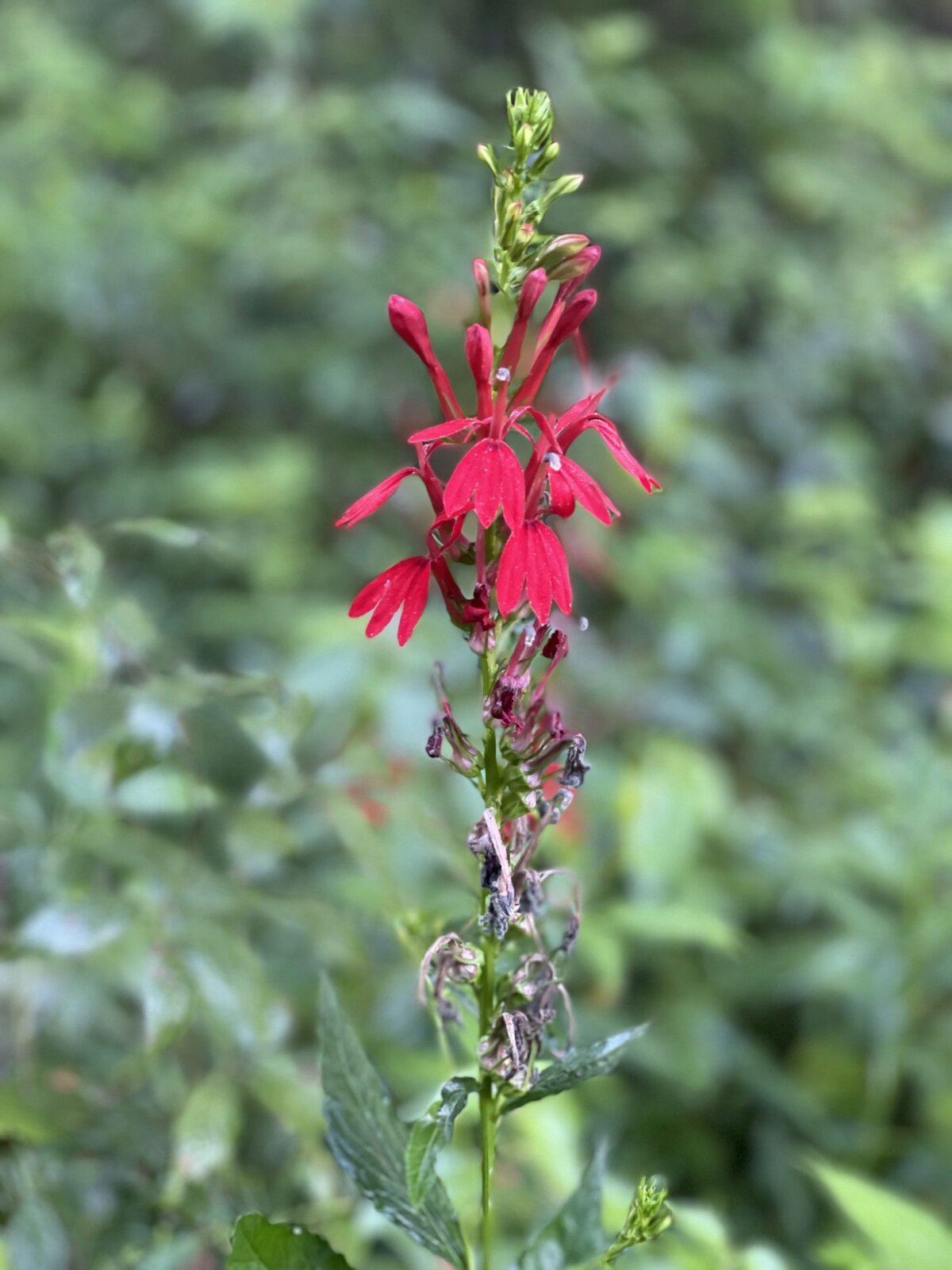
The primary goal of the proposed bank is to restore and enhance existing aquatic resources, including streams, associated riparian buffers and wetlands. This is intended to result in self-sustaining habitats that will achieve the desired ecosystem functionality of the mitigation plan.
Other goals for the proposed bank include improving existing stream and wetland conditions with rehabilitation actions that:
a) are effective in dissipating flood energy and providing improved flood water storage;
b) maintain stable stream channels with expected geomorphology for the region;
c) are ecologically diverse with a variety of habitats to supporting fish and other wildlife;
d) improve water quality by cessation of agricultural, reducing non-point source pollution and improving water quality;
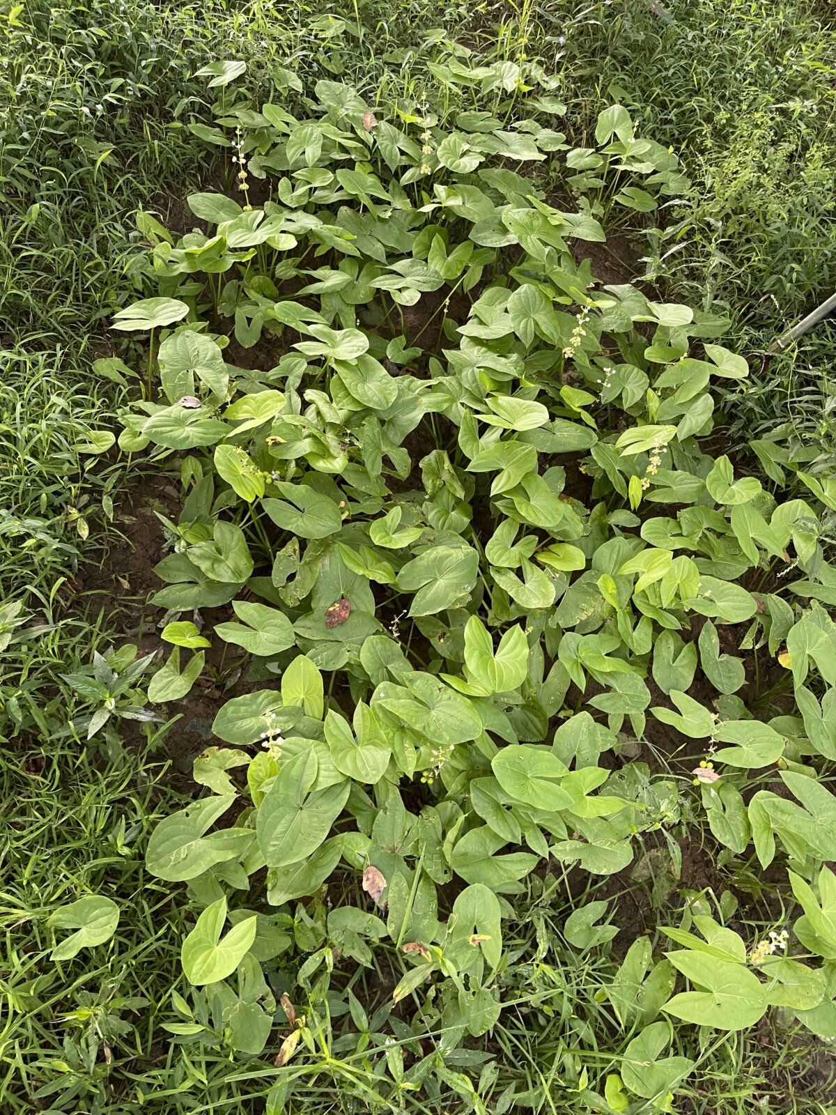
e) restore or enhance native plant communities while minimizing the occurrence and spread of invasive, non-native vegetation;
f) offer perpetual protection for the aquatic resources within the Bank by legally establishing land use restrictions in the form of a conservation easement.
A further purpose of the bank will be to provide stream and wetland mitigation credits to satisfy compensatory mitigation requirements for adverse impacts to streams permitted under Section 404/401 of the Clean Water Act. The Bank will generate such credits by restoring, enhancing, and preserving aquatic resources throughout the proposed mitigation area.
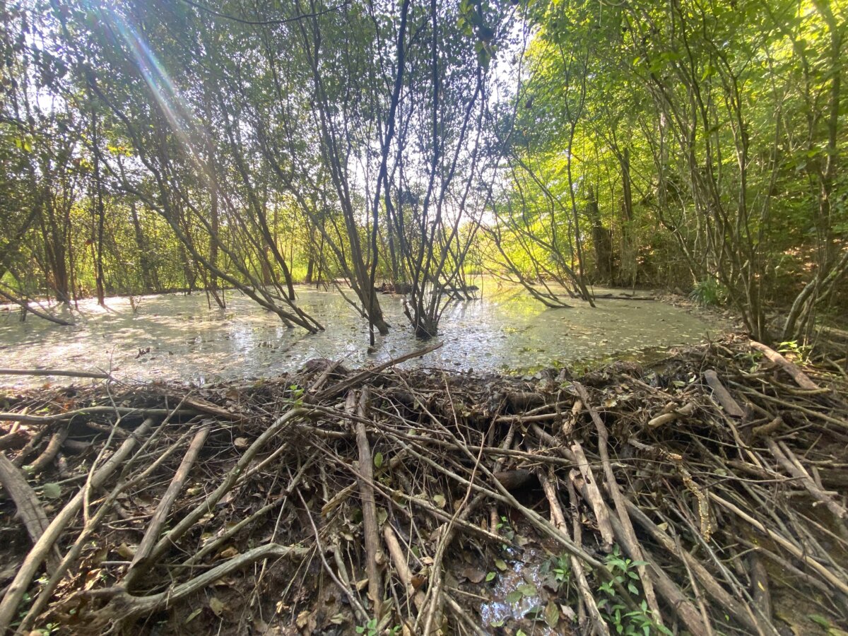
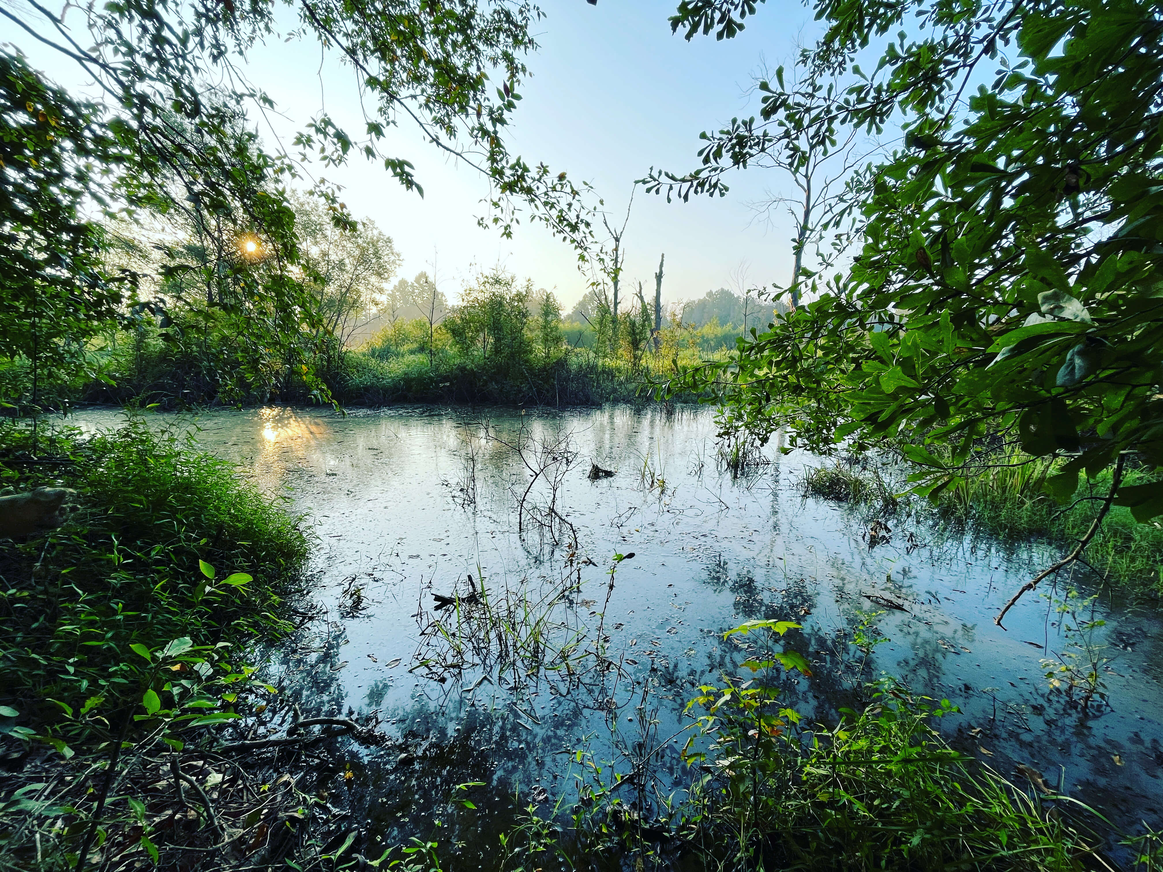
To properly observe and gather data, three teams were assembled to perform wetland delineation, stream quantification tool assessments and hydrologic determinations.

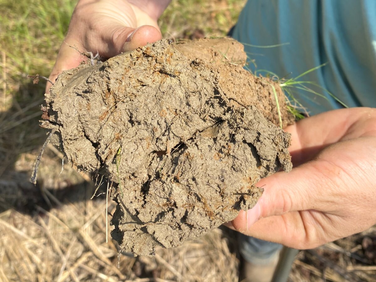
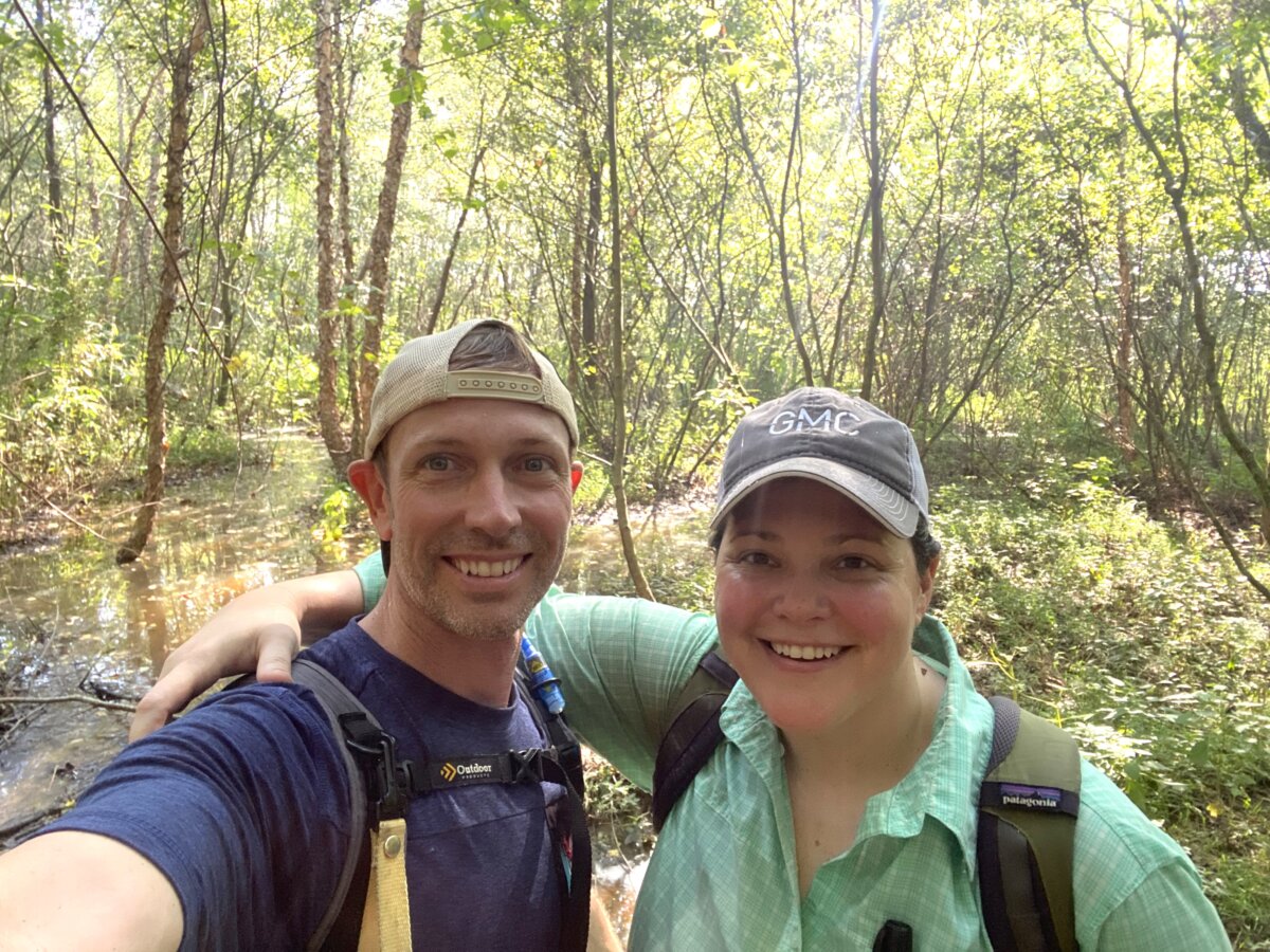
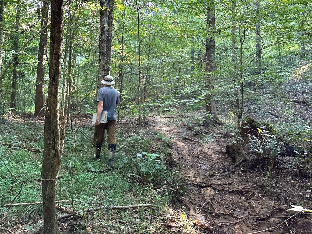
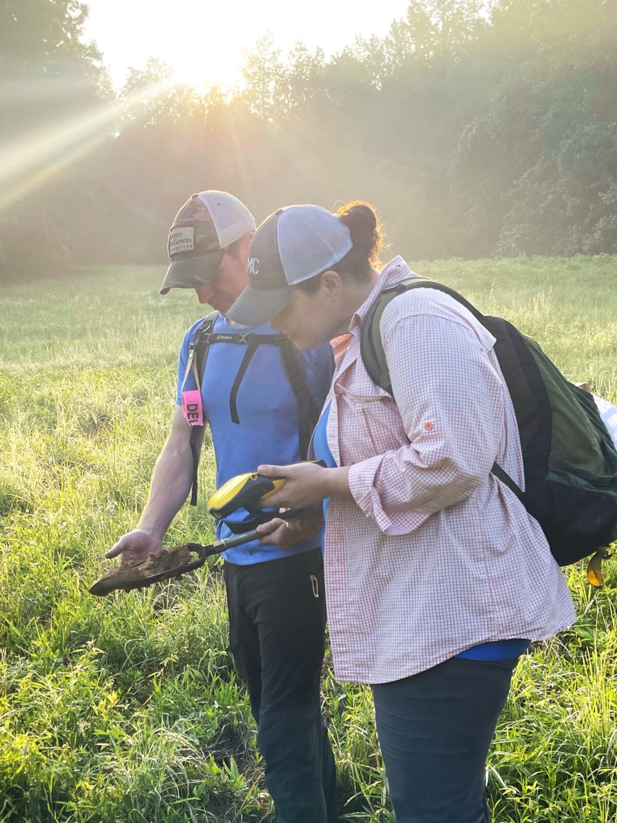
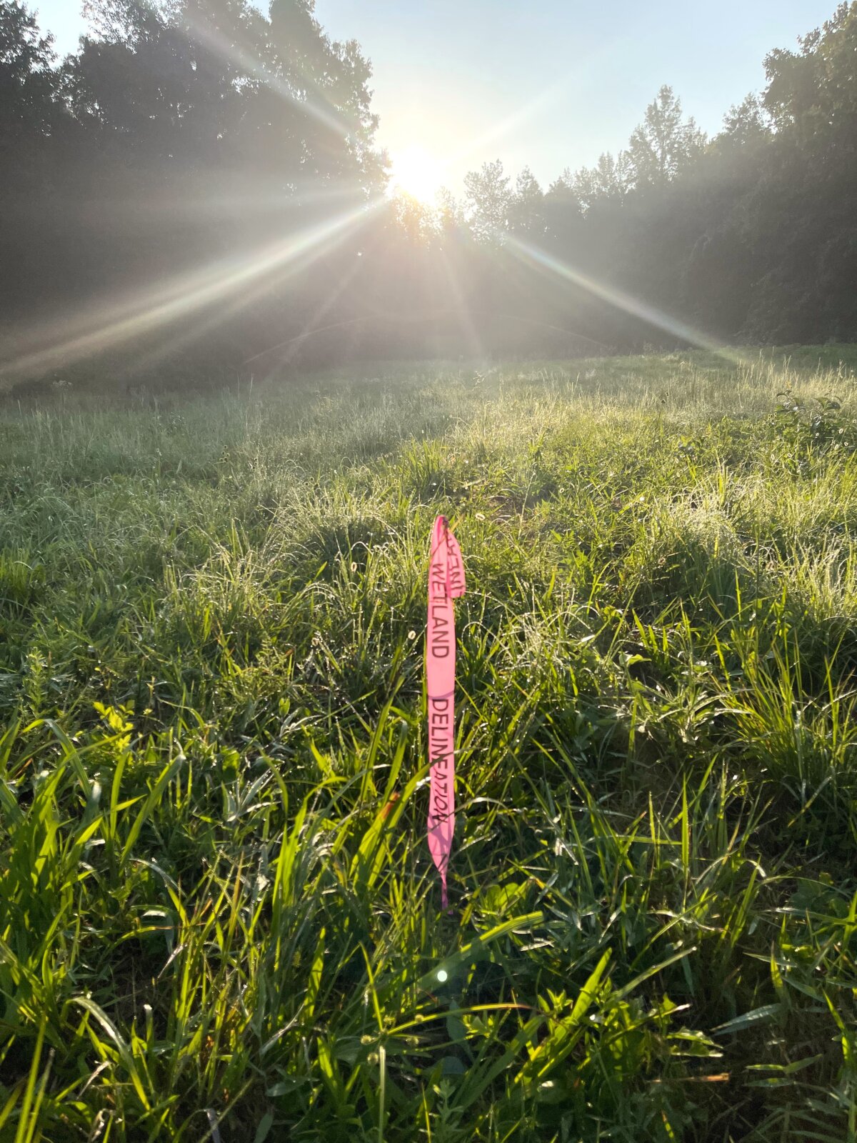
The wetland delineation team – consisting of Lauren Barber, Rob Carlton, April Henley and Melissa Mehaffey – were responsible for the identification and delineation of wetland habitats and their limits. To do this, they search for three wetland indicators: hydric soils, wetland vegetation and evidence of wetland hydrology. At each area investigated, the team took a soil profile to review if the soil met hydric soil conditions, examined the vegetation to determine if the plants met the wetland indicator status, and inspected for evidence of sufficient hydrology.
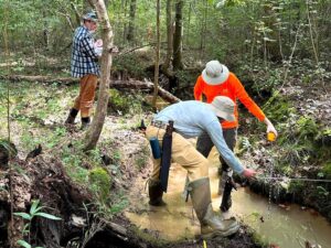
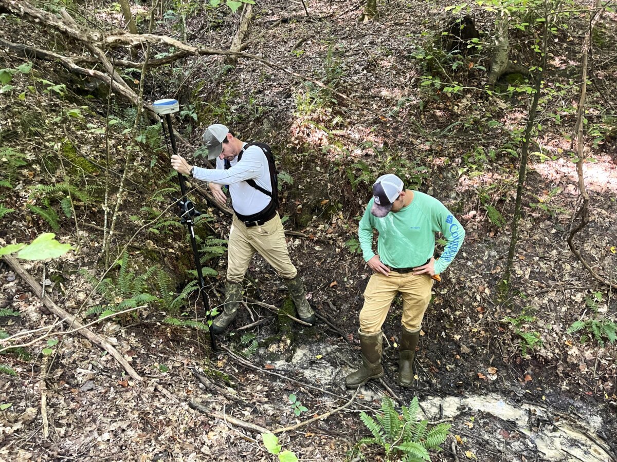
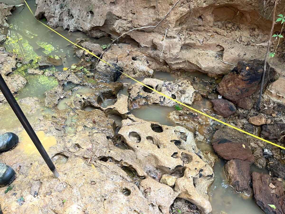
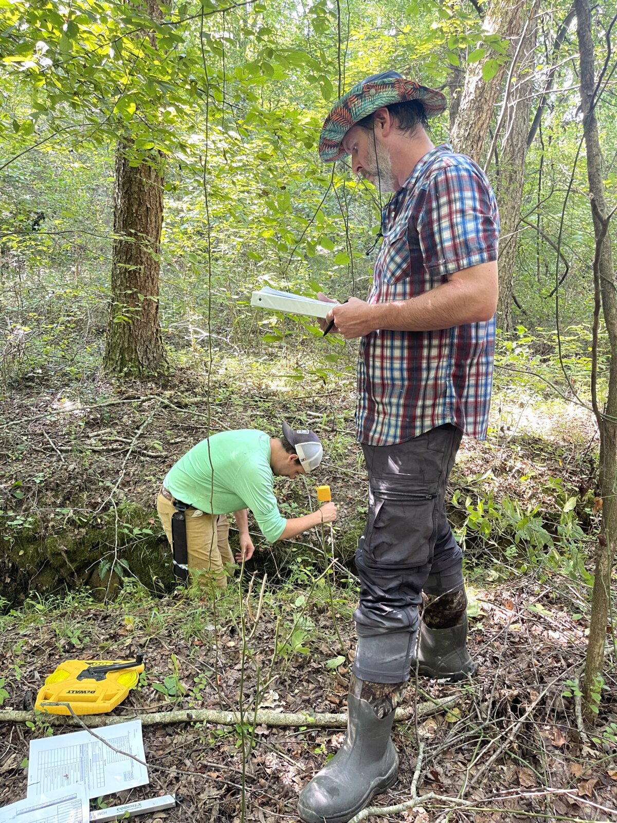
The stream assessment team – consisting of Wesley Caputo, Travis Hughes, Jof Mehaffey, William McLemore and Nolan Vice – completed an assessment of jurisdictional streams on site in compliance with both the USACE and state methodologies. For streams in Tennessee, the Stream Quantification Tool (SQT) is implemented and the team collects both biological and geomorphic data. The goal is to establish an Existing Condition Score (ECS) which documents the existing baseline condition for each stream reach proposed for mitigation activities. The ECS is then used to estimate ecological uplift achieved through stream restoration efforts (mitigation banking).
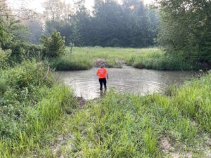
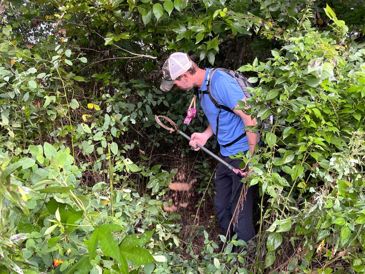
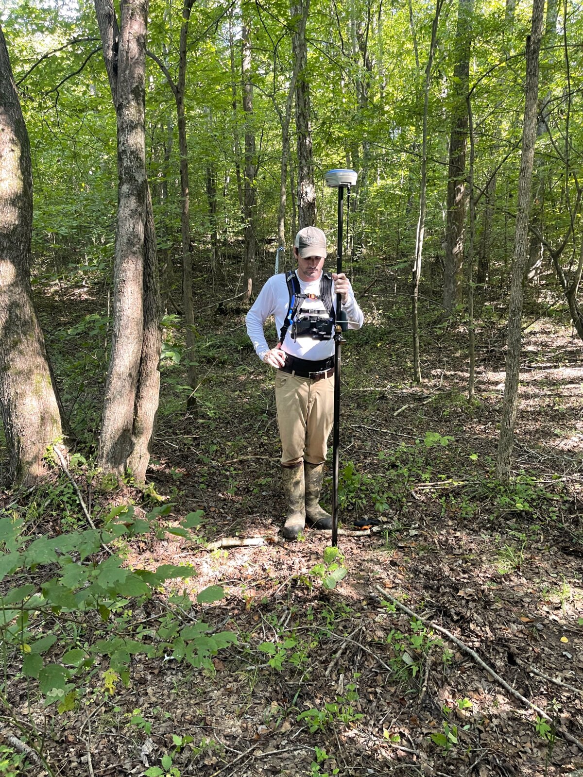
The hydrologic determination (HD) team consisted of Ellen Strupp and Jessie Wheeler. HD determinations are a method used specifically in Tennessee to determine the location and jurisdictional nature of any linear watercourse and/or wetland habitat within a given parcel of land. While the wetland and stream teams were busy conducting assessments for the known aquatic resources, the HD team investigated other areas of the 750 acre parcel to determine if additional features were present that may require restoration or otherwise be included within the proposed bank for preservation purposes.
All data collected from each of the three teams will be utilized to support the draft mitigation banking instrument (MBI) and the eventual final MBI, all subject to both USACE and TDEC review and approval. Specifically, the information obtained during this data collection event provides the supporting documentation to these regulatory agencies which allows the team to justify restoration efforts throughout the site and to quantify subsequent ecological uplift/compensatory mitigation credit generation.