Brunswick, Georgia
Brunswick GIS Hosting and Stormwater Compliance
GMC provides GIS database hosting and management for the City of Brunswick to assist with their NPDES stormwater permit requirements.
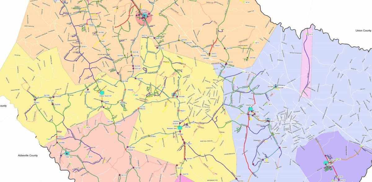
GMC developed and continues to host GIS data for the City, which allows the staff access to stormwater GIS data in a format that can be edited and maintained from virtually any type of computer or mobile device.
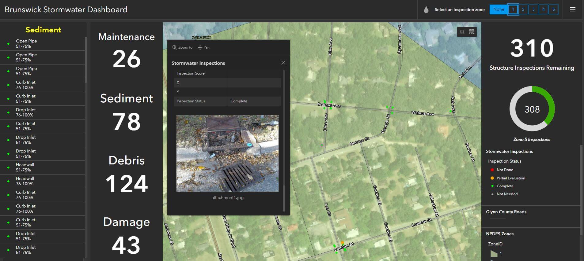
The City of Brunswick uses this platform to complete inlet inspections of stormwater features throughout The City. In addition, stormwater pipes, ditches, and outfalls are also inspected by the staff. The database developed by GMC contains physical attributes as well as condition-related attributes. Each stormwater feature is inspected using a mobile GIS application, which allows field edits to be made and posted real-time.
Maintenance needs and structural issues are noted, and multiple photographs are associated with each feature to illustrate the inspection results. The condition-related attributes collected as part of this process are used to generate work orders and allows The City to proactively maintain the stormwater system.

GMC also developed an operational dashboard as a management tool to help track progress throughout the annual reporting period. Managers can review the dashboard at any time and pull quick information about the number of inspections that have been completed. The dashboard also includes a summary of information such as sediment, debris, damage, and recommended maintenance needs.